L A N D

Terrestrial laser scanners provide detailed and highly accurate 3D data rapidly and efficiently.
A I R
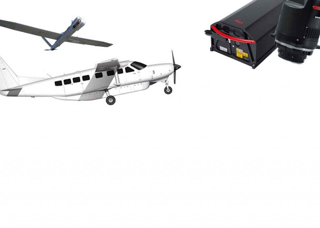
Precision aerial mapping survey using airplanes and unmanned aerial vehicle (UAV) provide very high resolution imagery and topographic surface.
S P A C E
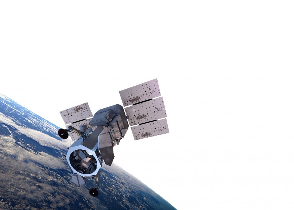
High resolution earth imagery from satellite provides geospatial solutions to help decision-makers better understand our changing planet to save lives, resources, and time.
S T R A T O S F E R

High quality imagery and sensor data from the stratosphere offer persistent observation of areas of interest for days, weeks, and months at a time. Closer to the Earth offer excellent resolution and accuracy.