3D Terrestrial Laser Scanner
Trimble SX10 combines surveying, imaging and high speed 3D scanning in one instrument. New Lightning 3DM technology enables the SX10 to capture both high-accuracy total station measurements and true high-speed 3D scans together in a single instrument providing a higher level of accuracy and measurement performance than ever before.
Applications :
- Topographic Survey/General Surveys (Boundary/Land Title Surveys)Extended control range – Up to 150 Km Based on its advanced digital communication technology
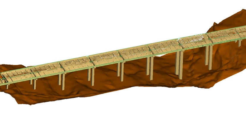
- Roadway/Corridor Surveys (Roadway design and Topo)
- Volumetric Surveys (Stockpile volumes)
- Infrastructure Surveys (Civil Infrastructure As-Builts)
- Building As-Built and Design Surveys
- Utility Design Survey
- Power Line Inspection/Clearance
- Forensics/Crash Scene Investigation
- Mine/Quarry Survey
- Tank Calibration/Inspection
- Dimensional Control